


Nevache

JMJ42
User
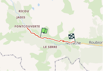

Length
7.7 km

Max alt
1858 m

Uphill gradient
87 m
Km-Effort
9.6 km

Min alt
1596 m

Downhill gradient
302 m
Boucle
No
Creation date :
2020-08-12 09:37:49.258
Updated on :
2020-08-12 12:22:34.846
1h56
Difficulty : Very easy

FREE GPS app for hiking
 SityTrail
IGN / Geographical institutes
SityTrail Plus
The world is yours!
About
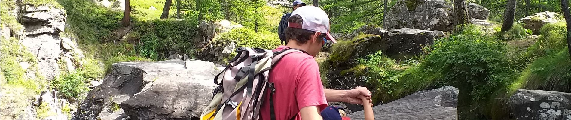
Trail Walking of 7.7 km to be discovered at Provence-Alpes-Côte d'Azur, Hautes-Alpes, Névache. This trail is proposed by JMJ42.
Photos

Positioning
Country:
France
Region :
Provence-Alpes-Côte d'Azur
Department/Province :
Hautes-Alpes
Municipality :
Névache
Location:
Unknown
Start:(Dec)
Start:(UTM)
308129 ; 4988500 (32T) N.
Comments