


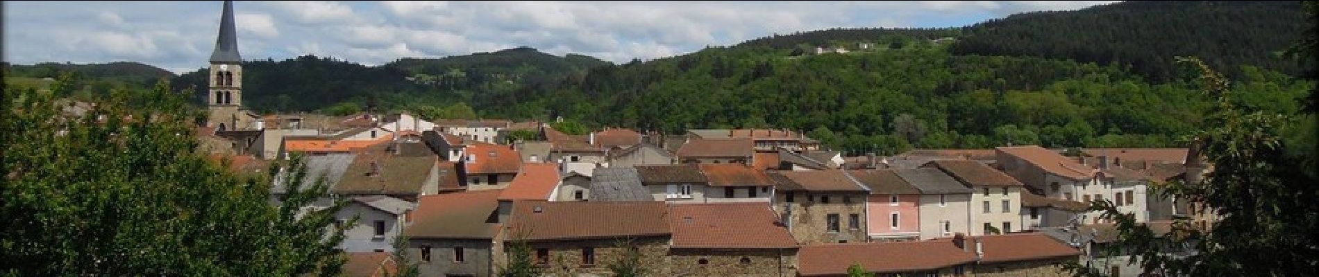
Sauxillanges_Civadoux

jagarnier
User GUIDE
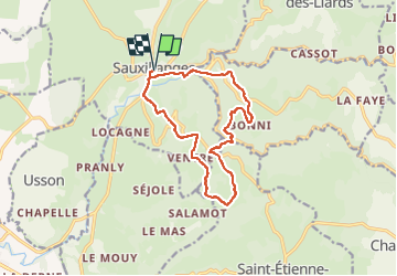


4h00
Difficulty : Difficult

FREE GPS app for hiking
 SityTrail
IGN / Geographical institutes
SityTrail Plus
The world is yours!
About
Trail Walking of 13.1 km to be discovered at Auvergne-Rhône-Alpes, Puy-de-Dôme, Sauxillanges. This trail is proposed by jagarnier.
Description
Au cours de cette randonnée, vous découvrirez les vestiges d’un grand prieuré clunisien où quatre papes séjournèrent. Le circuit se poursuit dans les gorges étroites de la vallée de Chaméane avec des vues sur la chaîne des Puys, le Sancy, le Cézallier, la vallée de l’Allier et le Forez.
Photos

Positioning
Comments