


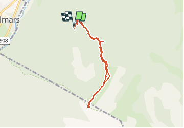
Le Laupon - Villars Colmars

soca
User

Length
7.9 km

Max alt
2423 m

Uphill gradient
703 m
Km-Effort
17.3 km

Min alt
1719 m

Downhill gradient
706 m
Boucle
Yes
Creation date :
2020-08-14 05:51:07.718
Updated on :
2020-08-15 07:10:31.106
3h59
Difficulty : Difficult

FREE GPS app for hiking
 SityTrail
IGN / Geographical institutes
SityTrail Plus
The world is yours!
About
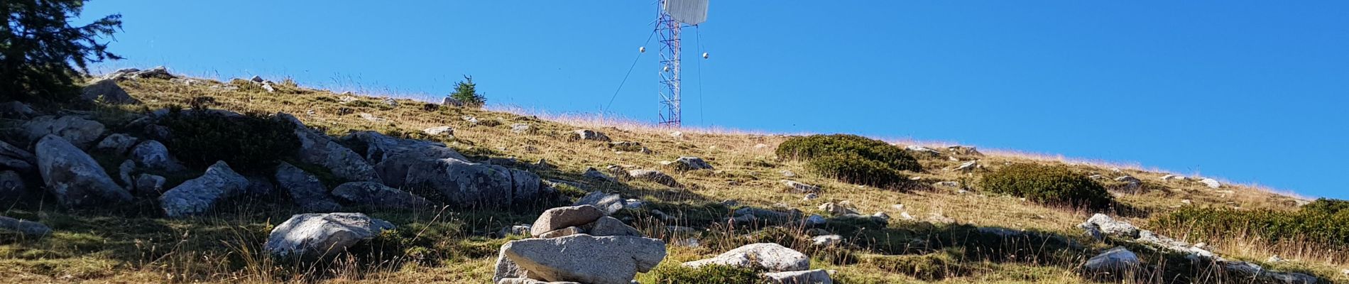
Trail Walking of 7.9 km to be discovered at Provence-Alpes-Côte d'Azur, Alpes-de-Haute-Provence, Colmars. This trail is proposed by soca.
Photos


Positioning
Country:
France
Region :
Provence-Alpes-Côte d'Azur
Department/Province :
Alpes-de-Haute-Provence
Municipality :
Colmars
Location:
Unknown
Start:(Dec)
Start:(UTM)
310584 ; 4892812 (32T) N.
Comments