


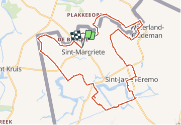
Sint Magriete

kimpej
User

Length
24 km

Max alt
15 m

Uphill gradient
63 m
Km-Effort
24 km

Min alt
-3 m

Downhill gradient
63 m
Boucle
Yes
Creation date :
2020-08-17 07:10:03.267
Updated on :
2020-08-17 12:25:14.335
5h12
Difficulty : Very easy

FREE GPS app for hiking
 SityTrail
IGN / Geographical institutes
SityTrail Plus
The world is yours!
About
Trail Walking of 24 km to be discovered at Flanders, East Flanders, Sint-Laureins. This trail is proposed by kimpej.
Positioning
Country:
Belgium
Region :
Flanders
Department/Province :
East Flanders
Municipality :
Sint-Laureins
Location:
Sint-Margriete
Start:(Dec)
Start:(UTM)
538138 ; 5681372 (31U) N.
Comments