


La cascade du Hohwald par le champ du Feu

VacheKiri67
User
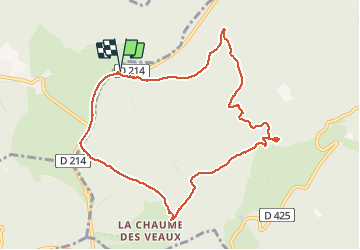

Length
9.7 km

Max alt
1081 m

Uphill gradient
363 m
Km-Effort
14.5 km

Min alt
717 m

Downhill gradient
363 m
Boucle
Yes
Creation date :
2014-12-10 00:00:00.0
Updated on :
2014-12-10 00:00:00.0
3h32
Difficulty : Medium

FREE GPS app for hiking
 SityTrail
IGN / Geographical institutes
SityTrail Plus
The world is yours!
About
Trail Walking of 9.7 km to be discovered at Grand Est, Bas-Rhin, Le Hohwald. This trail is proposed by VacheKiri67.
Description
Faite le 23/02/2014 en 3h30 (dont 0h30 de pauses) avec notre fils de 9 ans. Neige au dessus de 1000m.
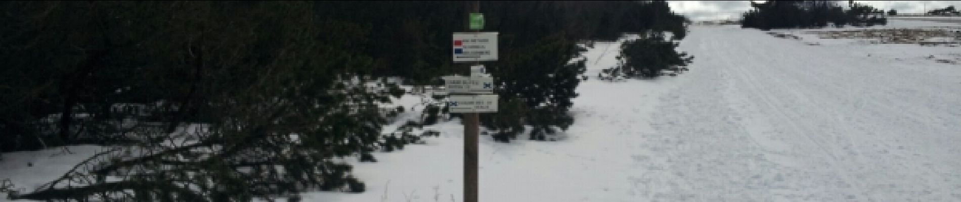
Photos


Positioning
Country:
France
Region :
Grand Est
Department/Province :
Bas-Rhin
Municipality :
Le Hohwald
Location:
Unknown
Start:(Dec)
Start:(UTM)
372325 ; 5363114 (32U) N.
Comments