


marais vernier

RoMo
User
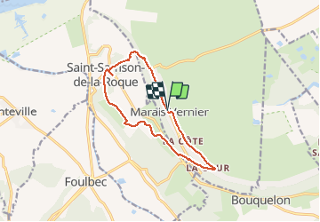

Length
11 km

Max alt
116 m

Uphill gradient
196 m
Km-Effort
13.6 km

Min alt
2 m

Downhill gradient
195 m
Boucle
Yes
Creation date :
2020-08-18 07:30:57.631
Updated on :
2020-08-18 15:41:30.877
3h01
Difficulty : Easy

FREE GPS app for hiking
 SityTrail
IGN / Geographical institutes
SityTrail Plus
The world is yours!
About
Trail Walking of 11 km to be discovered at Normandy, Eure, Marais-Vernier. This trail is proposed by RoMo.
Description
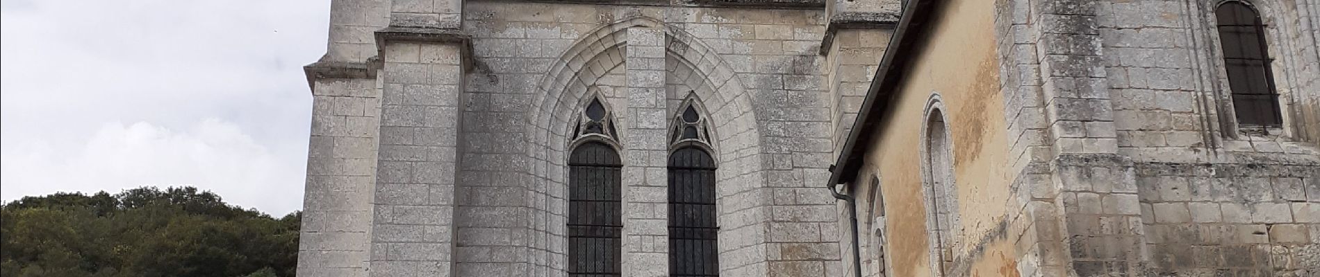
beau paysage parsemé de chaumières
Photos


Positioning
Country:
France
Region :
Normandy
Department/Province :
Eure
Municipality :
Marais-Vernier
Location:
Unknown
Start:(Dec)
Start:(UTM)
315435 ; 5477100 (31U) N.
Comments
