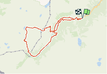
Circuit des lacs du Pont de l'Espagne - Cauterets

GrouGary
User


8h23
Difficulty : Medium

FREE GPS app for hiking
 SityTrail
IGN / Geographical institutes
SityTrail Plus
The world is yours!
About
Trail Walking of 23 km to be discovered at Occitania, Hautespyrenees, Cauterets. This trail is proposed by GrouGary.
Description
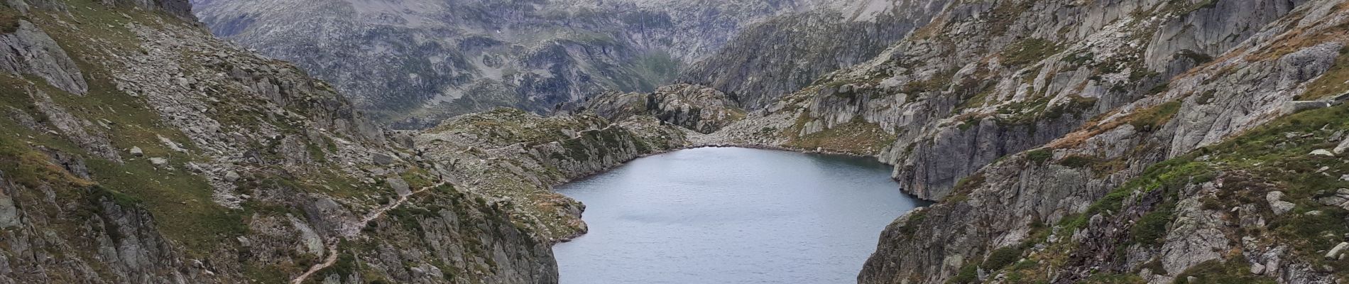
Beau circuit qui passe par de nombreux lacs : Lac de l'Embarrat, Lac du Pourtet, Le plus beau étant la descente vers le lac Nére pour la pause picnic. Puis Refuge Wallon-Marcadau en travaux. Longue descente le long du Gave du Marcadau.
Photos

Positioning
Comments