


le pas des ampes de la plagne montagnette

Joel26400
User
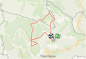

Length
16.7 km

Max alt
1959 m

Uphill gradient
912 m
Km-Effort
29 km

Min alt
1295 m

Downhill gradient
915 m
Boucle
Yes
Creation date :
2020-08-20 06:08:38.372
Updated on :
2020-08-20 18:38:03.664
7h56
Difficulty : Difficult

FREE GPS app for hiking
 SityTrail
IGN / Geographical institutes
SityTrail Plus
The world is yours!
About
Trail Walking of 16.7 km to be discovered at Auvergne-Rhône-Alpes, Drôme, Châtillon-en-Diois. This trail is proposed by Joel26400.
Description
très beau pas.
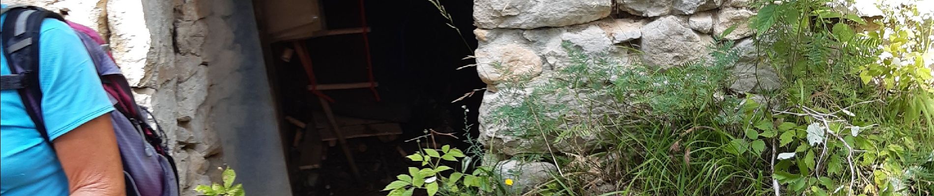
Photos


Positioning
Country:
France
Region :
Auvergne-Rhône-Alpes
Department/Province :
Drôme
Municipality :
Châtillon-en-Diois
Location:
Treschenu-Creyers
Start:(Dec)
Start:(UTM)
702352 ; 4958802 (31T) N.
Comments