


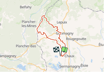

14.6 km | 23 km-effort


User


FREE GPS app for hiking
 SityTrail
IGN / Geographical institutes
SityTrail World
The world is yours!
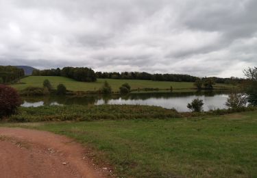
Trail Horseback riding of 25 km to be discovered at Bourgogne-Franche-Comté, Territoire-de-Belfort, Lachapelle-sous-Chaux. This trail is proposed by battaglia.

Walking

Walking
Walking
Mountain bike

Walking
Walking
Walking
Walking
Walking
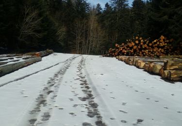
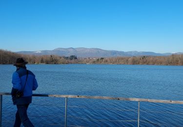
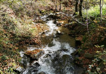
très beaux chemins dans les bois . jolies paysages lors de la descente.