


Saint-Priest Cyclisme sur route

Krystoff Radisson
User
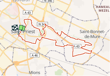

Length
24 km

Max alt
287 m

Uphill gradient
245 m
Km-Effort
27 km

Min alt
208 m

Downhill gradient
243 m
Boucle
Yes
Creation date :
2020-08-22 16:42:17.872
Updated on :
2020-08-22 17:13:46.144
1h48
Difficulty : Medium

FREE GPS app for hiking
 SityTrail
IGN / Geographical institutes
SityTrail Plus
The world is yours!
About
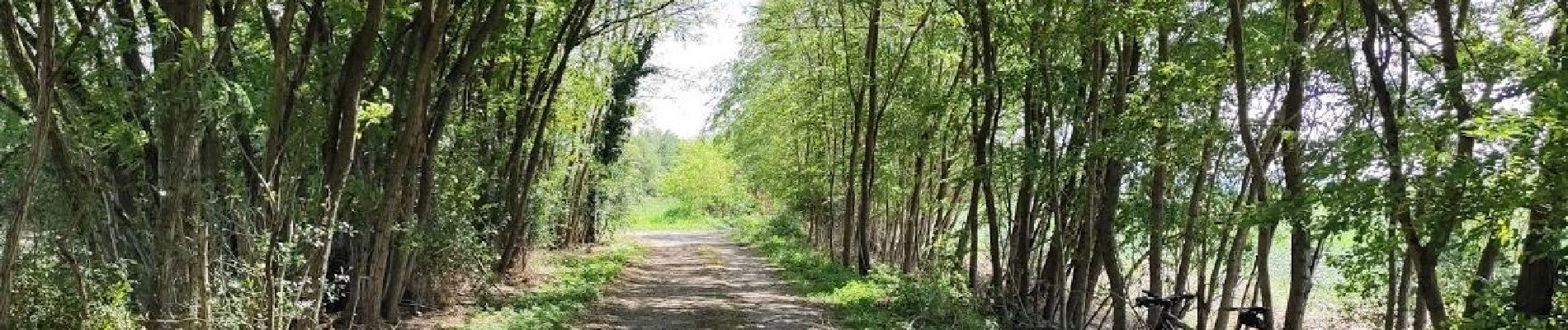
Trail Mountain bike of 24 km to be discovered at Auvergne-Rhône-Alpes, Métropole de Lyon, Saint-Priest. This trail is proposed by Krystoff Radisson.
Photos


Positioning
Country:
France
Region :
Auvergne-Rhône-Alpes
Department/Province :
Métropole de Lyon
Municipality :
Saint-Priest
Location:
Unknown
Start:(Dec)
Start:(UTM)
650956 ; 5061861 (31T) N.
Comments
un circuit très intéressant