


5.1 km | 7.8 km-effort

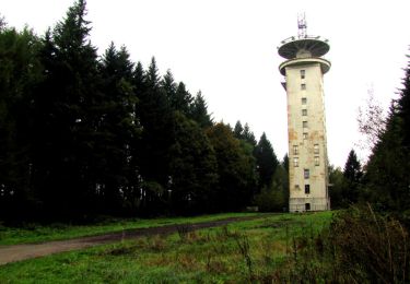
forêts de France


FREE GPS app for hiking
 SityTrail
IGN / Geographical institutes
SityTrail World
The world is yours!
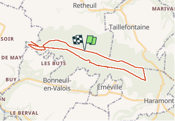
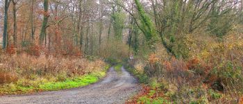
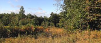
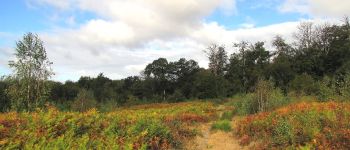
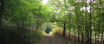
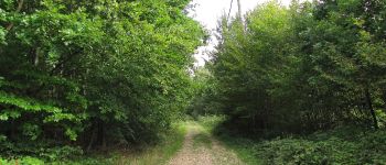
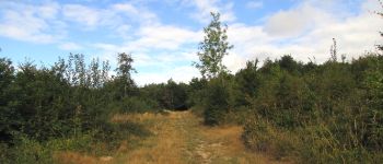
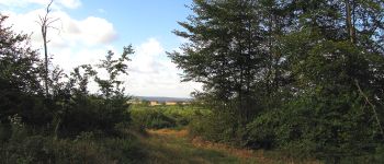
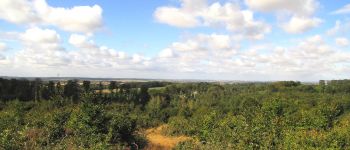
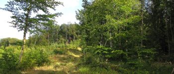
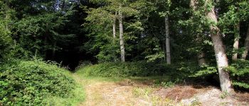
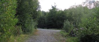
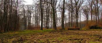
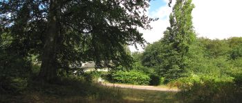
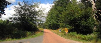
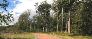
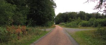
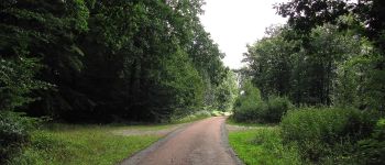
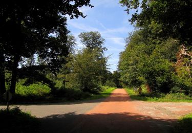
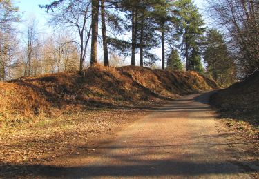
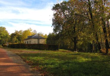
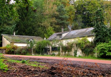
Trail Walking of 15.8 km to be discovered at Hauts-de-France, Aisne, Haramont. This trail is proposed by en forêt de Retz.
08/ 2020
randonnée classée moyenne. Batterie de recharge pour iphone obligatoire.
objectif: la laie du Petit bois d'Haramont jusqu'au carrefour du Moulinet.
Au départ du carrefour de Montaigu, suivre la Route du Faîte jusqu'au carrefour avec le Chemin du Pommier Vallerand. Suivre à gauche ce chemin puis prendre à droite le sentier sans nom et continuer jusqu'à l'intersection avec la Laie du Petit Bois d'Haramont. La suivre à droite jusqu'au carrefour avec la Laie de la Fosse aux Loups. Tourner à gauche sur la Route du Faîte et aller jusqu'à la lisière de la forêt (fin de la Route du Faîte en forêt de Retz). Revenir sur ses pas et tourner à droite au carrefour avec la Laie de la Fosse aux Loups. Tourner à gauche au carrefour avec la Laie du Petit Bois d'Haramont et la suivre jusqu'au carrefour du Moulinet. Prendre à gauche la Laie du Moulinet jusqu'au carrefour de la Croix Morel. Tourner à gauche dans la Route du Faîte pour revenir au point de départ.


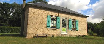
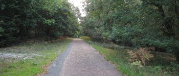
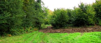
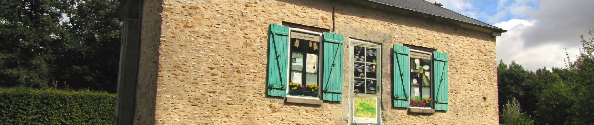
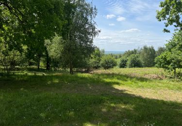
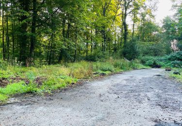
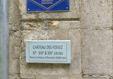
120 photos in total. Please click on a photo to see them all in the gallery.
Walking
Walking
Walking
Walking
Walking
Walking

Walking
Walking