


Grèce

GOHIER
User
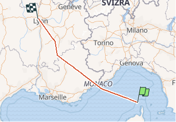

Length
492 km

Max alt
2377 m

Uphill gradient
31062 m
Km-Effort
904 km

Min alt
-1 m

Downhill gradient
30712 m
Boucle
No
Creation date :
2020-08-19 06:02:40.0
Updated on :
2020-08-24 07:46:45.045
24m
Difficulty : Unknown

FREE GPS app for hiking
 SityTrail
IGN / Geographical institutes
SityTrail Plus
The world is yours!
About
Trail Plane of 492 km to be discovered at France. This trail is proposed by GOHIER.
Positioning
Country:
France
Region :
Corse
Department/Province :
Haute-Corse
Municipality :
Punta di Corno di Becco
Location:
Unknown
Start:(Dec)
Start:(UTM)
518319 ; 4773359 (32T) N.
Comments