


Tour Windhorn jour 2

LaurentGILG
User
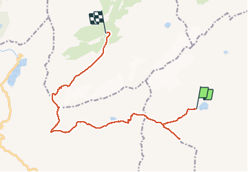

Length
15.7 km

Max alt
3009 m

Uphill gradient
1094 m
Km-Effort
32 km

Min alt
1995 m

Downhill gradient
1596 m
Boucle
No
Creation date :
2020-08-25 06:43:51.105
Updated on :
2020-08-26 08:01:47.209
5h10
Difficulty : Very difficult

FREE GPS app for hiking
 SityTrail
IGN / Geographical institutes
SityTrail Plus
The world is yours!
About
Trail Walking of 15.7 km to be discovered at Valais/Wallis, Hérens, Ayent. This trail is proposed by LaurentGILG.
Positioning
Country:
Switzerland
Region :
Valais/Wallis
Department/Province :
Hérens
Municipality :
Ayent
Location:
Unknown
Start:(Dec)
Start:(UTM)
375653 ; 5133473 (32T) N.
Comments