


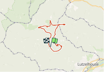

14.9 km | 24 km-effort

User


FREE GPS app for hiking
 SityTrail
IGN / Geographical institutes
SityTrail World
The world is yours!
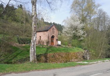
Trail Walking of 12 km to be discovered at Grand Est, Bas-Rhin, Lutzelhouse. This trail is proposed by ZURMELY.
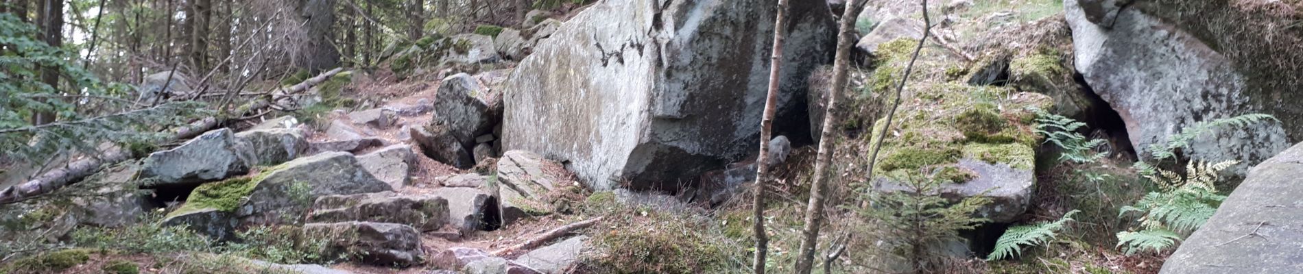
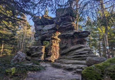
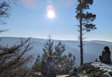
Etapes de la randonnée : Chalet du Club Vosgien du Schliffstein, Jardin des Fées, Porte de Pierre, aller-retour Petit Katzenberg, Rocher de Mutzig, Col du Narion (baraque aux Juifs), Schliffstein.
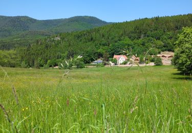
L’accès en voiture à partir de Lutzelhouse au chalet du Club Vosgien du Schliffstein par les routes forestières est autorisé en journée.


Walking
Walking
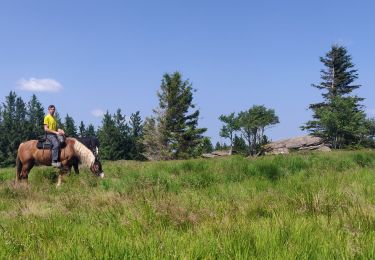
Horseback riding

Walking

Horseback riding
Walking
Walking
Walking

Walking
Attention l'accès en voiture au châlet est réglementé, arrêté du maire.
Super rando