


col des gentianes

aldaus
User
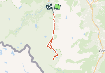

Length
26 km

Max alt
2767 m

Uphill gradient
1441 m
Km-Effort
45 km

Min alt
1369 m

Downhill gradient
1441 m
Boucle
Yes
Creation date :
2020-08-27 05:01:36.229
Updated on :
2020-08-27 16:49:15.003
8h29
Difficulty : Very easy

FREE GPS app for hiking
 SityTrail
IGN / Geographical institutes
SityTrail Plus
The world is yours!
About
Trail Walking of 26 km to be discovered at Occitania, Hautespyrenees, Cauterets. This trail is proposed by aldaus.
Positioning
Country:
France
Region :
Occitania
Department/Province :
Hautespyrenees
Municipality :
Cauterets
Location:
Unknown
Start:(Dec)
Start:(UTM)
737094 ; 4748547 (30T) N.
Comments