


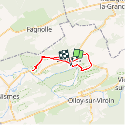


22 km | 28 km-effort

User GUIDE


FREE GPS app for hiking
 SityTrail
IGN / Geographical institutes
SityTrail World
The world is yours!
Trail Walking of 8.2 km to be discovered at Wallonia, Namur, Viroinval. This trail is proposed by Desrumaux.
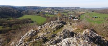
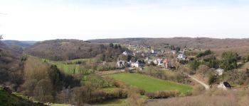
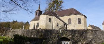
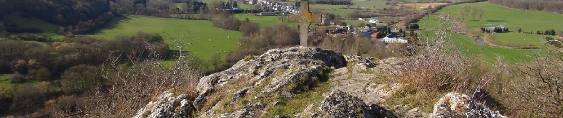
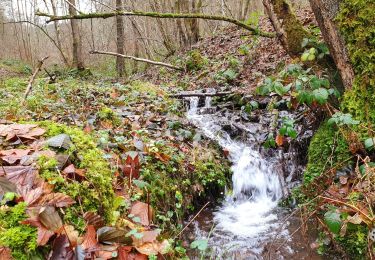
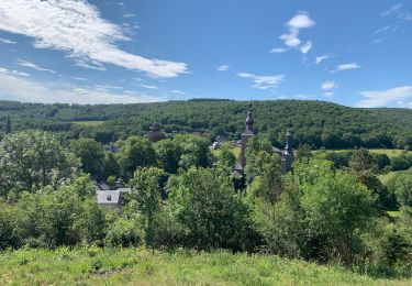
Dourbes est le premier village situé sur le Virion après le confluent de l’Eau Noire et de l’Eau Blanche, Dourbes séduit par sa quiétude et son charme pittoresque.Ce petit village est dominé par les ruines du château médiéval de Haute Roche.


Walking
Walking

Cycle

Walking

Walking
Mountain bike

Walking

Nordic walking
Nordic walking