


Herfleur - Caucriauville - Rouelles

DDLEDANDY
User
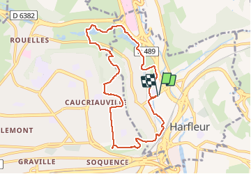

Length
8.4 km

Max alt
95 m

Uphill gradient
128 m
Km-Effort
10.1 km

Min alt
0 m

Downhill gradient
127 m
Boucle
Yes
Creation date :
2020-09-02 06:44:16.358
Updated on :
2020-09-02 08:47:57.653
2h03
Difficulty : Very easy

FREE GPS app for hiking
 SityTrail
IGN / Geographical institutes
SityTrail Plus
The world is yours!
About
Trail Walking of 8.4 km to be discovered at Normandy, Seine-Maritime, Harfleur. This trail is proposed by DDLEDANDY.
Description
randonnée semi urbaine qui peut être prolongée par des variantes dans le parc de Rouelles. Très agréable.
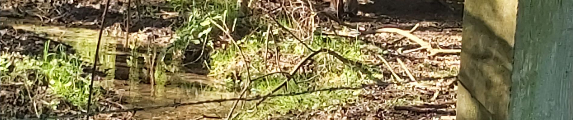
Photos


Positioning
Country:
France
Region :
Normandy
Department/Province :
Seine-Maritime
Municipality :
Harfleur
Location:
Unknown
Start:(Dec)
Start:(UTM)
296786 ; 5488223 (31U) N.
Comments