


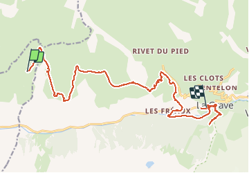

17.4 km | 32 km-effort

User GUIDE


FREE GPS app for hiking
 SityTrail
IGN / Geographical institutes
SityTrail World
The world is yours!
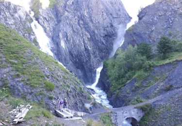
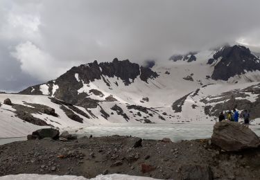
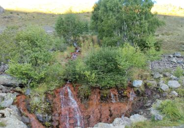
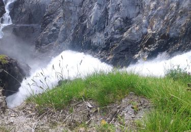
Trail Walking of 21 km to be discovered at Auvergne-Rhône-Alpes, Isère, Mizoën. This trail is proposed by holtzv.
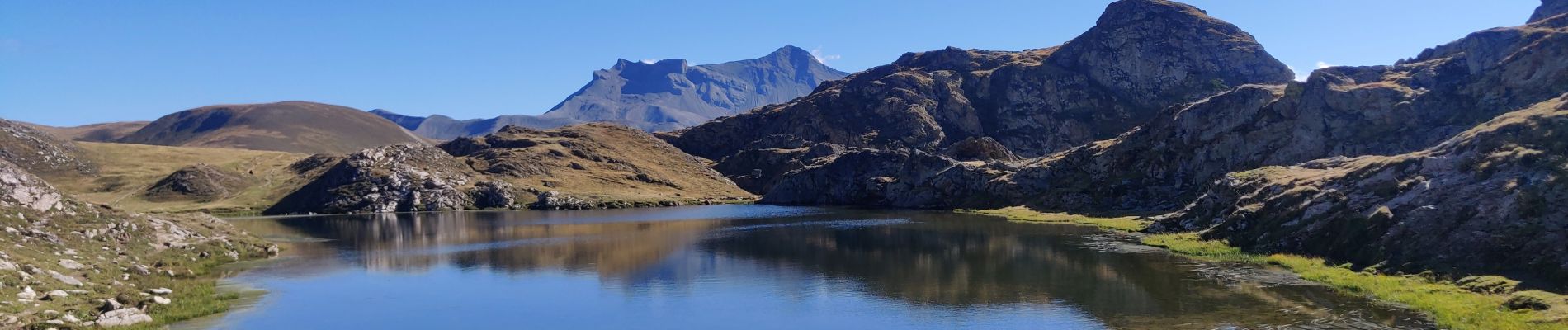
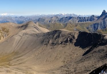
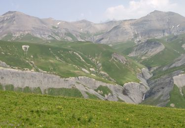
Matinée sur le plateau d’Emparis à la découverte des lacs Noir et Lérié (alt 2400m) avant de revenir sur le col du Souchet vers le village du Chazelet. Dernière descente via Notre-Dame de Bon Repos (alt 1700m) avant de longer la Romanche pour revenir à la Grave.


Walking

Walking
Walking
Walking
Walking
Walking

Other activity

Via ferrata
Walking