


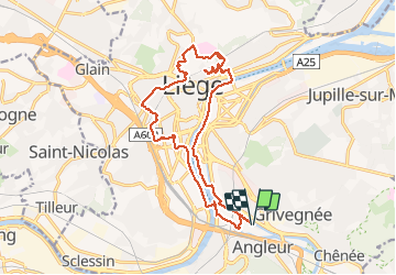
A la découverte de Liège

mumu.larandonneuse
User GUIDE


4h00
Difficulty : Easy
4h00
Difficulty : Easy

FREE GPS app for hiking
 SityTrail
IGN / Geographical institutes
SityTrail Plus
The world is yours!
About
Trail Walking of 16.5 km to be discovered at Wallonia, Liège, Liège. This trail is proposed by mumu.larandonneuse.
Description
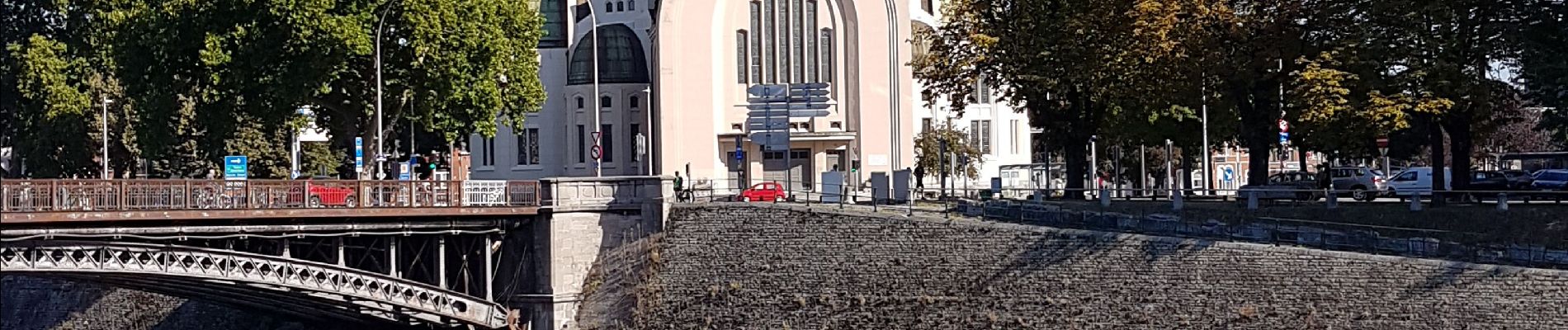
Le long de l'Ourthe et de la Meuse, par les coteaux de la citadelle, traversée des parcs (Boverie, Jardin Botanique, Avroy).
Descriptif complet sur www.wandelgidszuidlimburg.com/routes-es-francais n° 1052.
D/A : parking du centre commercial de Belle Ile
Photos


Positioning
Comments