


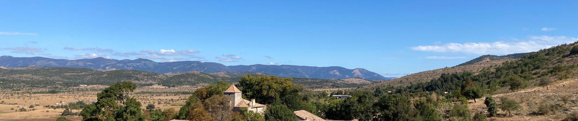
Rogue - col des chasseurs- boucle

dan69390
User
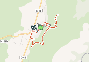

Length
3.7 km

Max alt
683 m

Uphill gradient
122 m
Km-Effort
5.4 km

Min alt
553 m

Downhill gradient
125 m
Boucle
Yes
Creation date :
2020-09-07 08:04:16.0
Updated on :
2020-09-07 09:43:42.083
1h40
Difficulty : Easy

FREE GPS app for hiking
 SityTrail
IGN / Geographical institutes
SityTrail Plus
The world is yours!
About
Trail Walking of 3.7 km to be discovered at Occitania, Gard, Rogues. This trail is proposed by dan69390.
Photos


Positioning
Country:
France
Region :
Occitania
Department/Province :
Gard
Municipality :
Rogues
Location:
Unknown
Start:(Dec)
Start:(UTM)
545771 ; 4859401 (31T) N.
Comments