


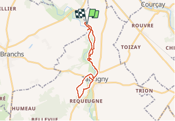

9.3 km | 10.9 km-effort


User


FREE GPS app for hiking
 SityTrail
IGN / Geographical institutes
SityTrail World
The world is yours!
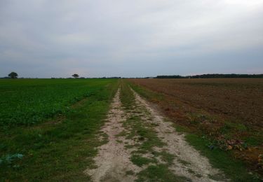
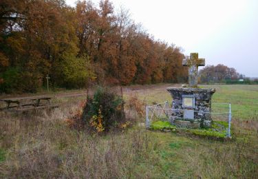
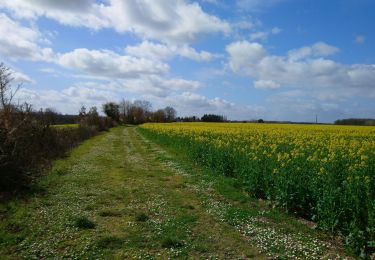
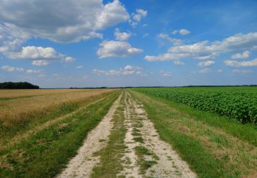
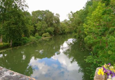
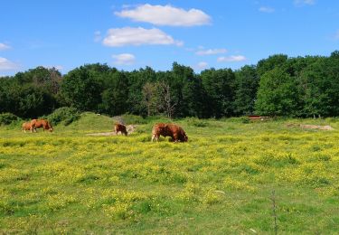
Trail Walking of 12.4 km to be discovered at Centre-Loire Valley, Indre-et-Loire, Tauxigny-Saint-Bauld. This trail is proposed by Orcal37.
Malabry - Tauxigny chemin des Moulins avec variante - 12.4km 160m 3h00 - 2020 09 07


Walking
Walking
Walking
Walking
Walking
Walking
Walking
Walking

Walking