


Nevache col des Meaudes

c.gourme
User

Length
16 km

Max alt
2932 m

Uphill gradient
945 m
Km-Effort
29 km

Min alt
2016 m

Downhill gradient
949 m
Boucle
Yes
Creation date :
2020-09-08 07:00:16.0
Updated on :
2020-10-23 14:39:46.573
8h16
Difficulty : Medium

FREE GPS app for hiking
 SityTrail
IGN / Geographical institutes
SityTrail Plus
The world is yours!
About
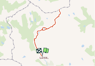
Trail Walking of 16 km to be discovered at Provence-Alpes-Côte d'Azur, Hautes-Alpes, Névache. This trail is proposed by c.gourme.
Positioning
Country:
France
Region :
Provence-Alpes-Côte d'Azur
Department/Province :
Hautes-Alpes
Municipality :
Névache
Location:
Unknown
Start:(Dec)
Start:(UTM)
305230 ; 4992473 (32T) N.
Comments