


Roc blanc .étang du Laurenti (Ariège )

MarieFrancoise
User


9h32
Difficulty : Difficult

FREE GPS app for hiking
 SityTrail
IGN / Geographical institutes
SityTrail Plus
The world is yours!
About
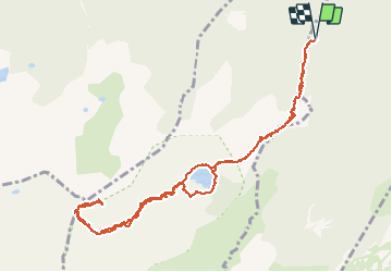
Trail Walking of 13.1 km to be discovered at Occitania, Ariège, Le Pla. This trail is proposed by MarieFrancoise.
Description
Départ à partir du parking de la maison forestière du Laurenti (après Le village de le PLa suivre la piste forestière )
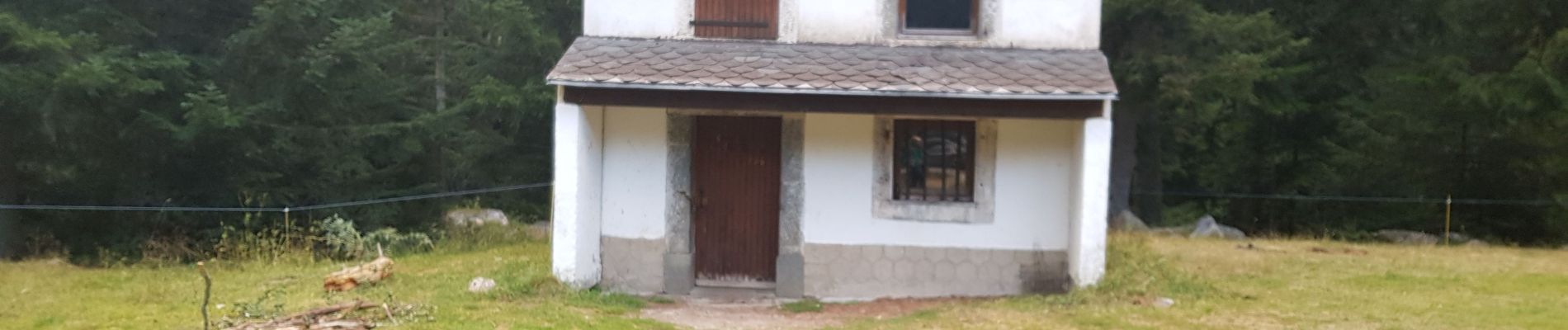
suivre le balisage du GR ( jaune -rouge ) en direction du lac du laurenti .on passe avant d 'y arriver par la cabane de la Counc.
continuer jusqu ' à l 'étang , le longer et continuer vers le col du Laurenti c est la partie la plus dure de la rando à cause de la pente très raide. On atteint ainsi la réserve naturelle d 'Orlu.
prendre à droite et continuer à monter pour atteindre le Roc Blanc récompense de cet effort la vue magnifique à 360°
Le retour s 'effectue par le même chemin
Photos
 - Photo 1")
 - Photo 2")
 - Photo 3")
 - Photo 4")
 - Photo 5")
 - Photo 6")
 - Photo 7")
 - Photo 8")
 - Photo 9")
 - Photo 10")
 - Photo 11")
 - Photo 12")
 - Photo 13")
 - Photo 14")
 - Photo 15")
 - Photo 16")
 - Photo 17")
 - Photo 18")
 - Photo 19")
 - Photo 20")
 - Photo 21")
 - Photo 22")
 - Photo 23")
 - Photo 24")
 - Photo 25")
25 photos in total. Please click on a photo to see them all in the gallery.
Positioning
Comments