Trail On foot Soumont-Saint-Quentin - 2020-09-10_14h10m14_la breche au diable - Photo

2020-09-10_14h10m14_la breche au diable

 lepompi
lepompi

User

© OpenStreetMap contributors
Length
Length
9.1 km
Max alt
Max alt
167 m
Uphill gradient
Uphill gradient
186 m
Km-Effort
Km-Effort  
11.6 km
Min alt
Min alt
80 m
Downhill gradient
Downhill gradient
186 m
Boucle
Boucle
Yes
Creation date :
2020-09-10 12:10:15.517
Updated on :
2020-09-13 12:22:41.015

(1 Reviews)

On foot
On foot
--
Difficulty : Easy

Scan this QR Code to open this trail in the SityTrail application

FREE GPS app for hiking

Logo SityTrail SityTrail

IGN / Geographical institutes

Download SityTrail from the App Store Download SityTrail from Google Play

Logo SityTrail SityTrail World

The world is yours!

Download SityTrail from the App Store Download SityTrail from Google Play Download SityTrail on Huawei AppGallery

About

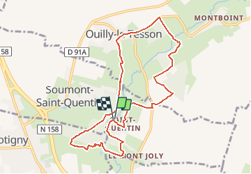
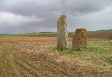
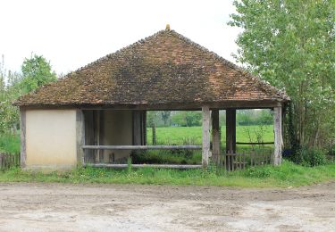
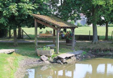
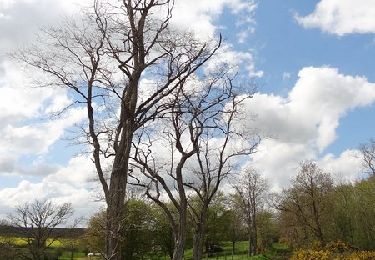
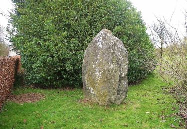
Trail On foot of 9.1 km to be discovered at Normandy, Calvados, Soumont-Saint-Quentin. This trail is proposed by lepompi.

Description

Un peu sur route, deux trois montées qui piquent..

Elevation profile

Photos

Positioning

Country:
France
Region :
Normandy
Department/Province :
Calvados
Municipality :
Soumont-Saint-Quentin
Location:
Unknown
Start:(UTM)
703311 ; 5428389 (30U) N.

Comments

Please log in to post a review or rate the element


Trails nearby

Trail Walking Potigny - potigny-01 - Photo
Walking
gr1346

Walking

Medium
Potigny, Normandy, Calvados, France
7.1 km | 7.9 km-effort
1h 47min
Yes
Trail On foot Villers-Canivet - Circuit des Pépinières - Photo
On foot
PRO

On foot

Easy
Villers-Canivet, Normandy, Calvados, France
11.2 km | 12.8 km-effort
2h 54min
No
Trail On foot Potigny - Circuit de la Brèche au Diable - Photo
On foot
PRO

On foot

Easy
Potigny, Normandy, Calvados, France
11.9 km | 14.5 km-effort
3h 18min
Yes
Trail On foot Potigny - Circuit de la Brèche au Diable - Photo
On foot
PRO

On foot

Easy
Potigny, Normandy, Calvados, France
5.8 km | 7 km-effort
1h 35min
Yes
Trail On foot Villers-Canivet - Circuit de Torp - Photo
On foot
PRO

On foot

Easy
Villers-Canivet, Normandy, Calvados, France
10.6 km | 11.6 km-effort
2h 38min
No
Trail On foot Épaney - Circuit des 4 Vents - Photo
On foot
PRO

On foot

Medium
Épaney, Normandy, Calvados, France
20 km | 23 km-effort
5h 16min
Yes
Trail Mountain bike Épaney - 105 km au sud de Falaise - Epaney - Photo
Mountain bike
tracegps

Mountain bike

Difficult
Épaney, Normandy, Calvados, France
104 km | 127 km-effort
6h 0min
Yes
Trail Mountain bike Épaney - Les chemins du Minerai - Epaney - Photo
Mountain bike
tracegps

Mountain bike

Medium
Épaney, Normandy, Calvados, France
69 km | 80 km-effort
3h 30min
Yes
Trail Walking Rouvres - Rouvres - Photo
Walking
gr1346

Walking

Easy
(2)
Rouvres, Normandy, Calvados, France
10.5 km | 11.3 km-effort
2h 32min
Yes


Close
My subscriptions