


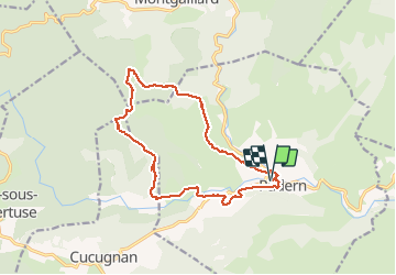
La Serre de la Maureille Padern

caccini
User

Length
15.7 km

Max alt
678 m

Uphill gradient
613 m
Km-Effort
24 km

Min alt
191 m

Downhill gradient
613 m
Boucle
Yes
Creation date :
2020-09-10 07:33:30.429
Updated on :
2025-04-05 12:34:05.953
7h20
Difficulty : Very easy

FREE GPS app for hiking
 SityTrail
IGN / Geographical institutes
SityTrail Plus
The world is yours!
About
Trail Walking of 15.7 km to be discovered at Occitania, Aude, Padern. This trail is proposed by caccini.
Description
Sentier difficile pas de balisage. Beaucoup de sentiers refermés. Descentes périlleuses abruptes. Convient à des randonneurs aventureux.
Positioning
Country:
France
Region :
Occitania
Department/Province :
Aude
Municipality :
Padern
Location:
Unknown
Start:(Dec)
Start:(UTM)
471752 ; 4746254 (31T) N.
Comments