


Malaterre château Julien

pconte
User
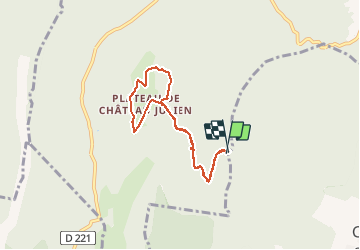

Length
6.9 km

Max alt
1550 m

Uphill gradient
279 m
Km-Effort
10.6 km

Min alt
1288 m

Downhill gradient
284 m
Boucle
Yes
Creation date :
2020-09-12 12:33:04.0
Updated on :
2020-09-12 14:39:24.401
1h52
Difficulty : Unknown

FREE GPS app for hiking
 SityTrail
IGN / Geographical institutes
SityTrail Plus
The world is yours!
About
Trail Walking of 6.9 km to be discovered at Auvergne-Rhône-Alpes, Isère, Villard-de-Lans. This trail is proposed by pconte.
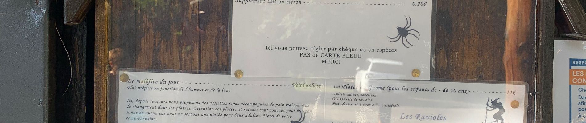
Photos


Positioning
Country:
France
Region :
Auvergne-Rhône-Alpes
Department/Province :
Isère
Municipality :
Villard-de-Lans
Location:
Unknown
Start:(Dec)
Start:(UTM)
696815 ; 4990719 (31T) N.
Comments