


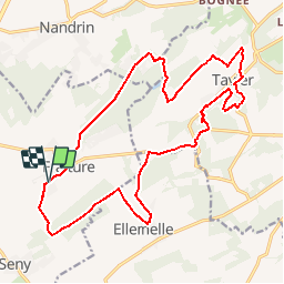


22 km | 28 km-effort


User


FREE GPS app for hiking
 SityTrail
IGN / Geographical institutes
SityTrail World
The world is yours!
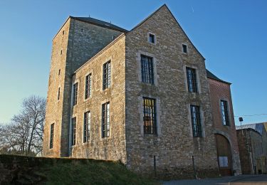
Trail Mountain bike of 19.1 km to be discovered at Wallonia, Liège, Tinlot. This trail is proposed by tourcondroz.
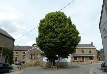
D’après la légende, Ramette, fidèle compagnon à quatre pattes du D’Zy, aimait gambader à travers Fraiture… Ainsi, comme Ramette, promenez-vous à travers le bois de Fraiture ou dans le parc du château où se dresse le camping. Là, après un petit « dodo cou-couche panier » bien mérité, repartez à travers fermes, châteaux et chapelles établis sur le chemin de cette balade.

Walking
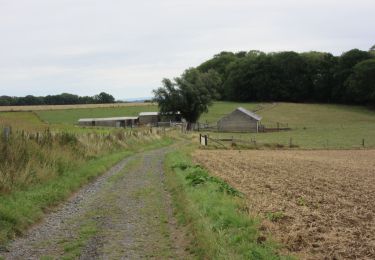
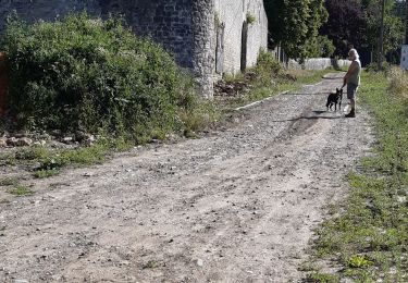
Walking
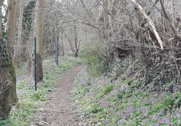
Walking

Mountain bike
On foot
On foot

Walking
Walking
Parfait