


Bords d'Oise Eragny - Port Cergy

Vadim
User
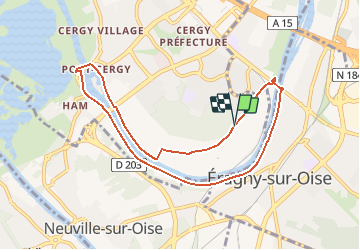

Length
8 km

Max alt
31 m

Uphill gradient
49 m
Km-Effort
8.7 km

Min alt
17 m

Downhill gradient
50 m
Boucle
Yes
Creation date :
2020-09-13 08:15:49.291
Updated on :
2020-09-19 03:10:14.367
2h00
Difficulty : Very easy

FREE GPS app for hiking
 SityTrail
IGN / Geographical institutes
SityTrail Plus
The world is yours!
About
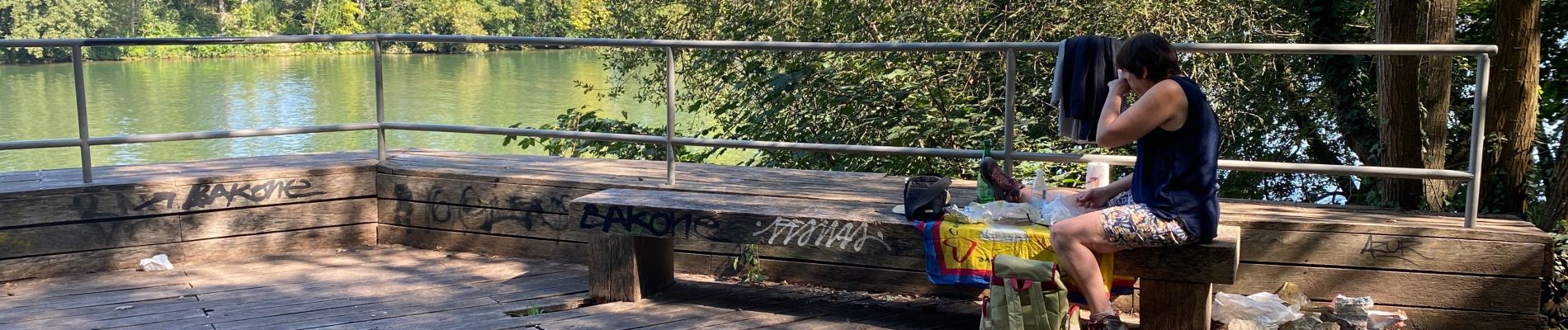
Trail On foot of 8 km to be discovered at Ile-de-France, Val-d'Oise, Cergy. This trail is proposed by Vadim.
Photos

Positioning
Country:
France
Region :
Ile-de-France
Department/Province :
Val-d'Oise
Municipality :
Cergy
Location:
Unknown
Start:(Dec)
Start:(UTM)
433119 ; 5430643 (31U) N.
Comments
interessante