


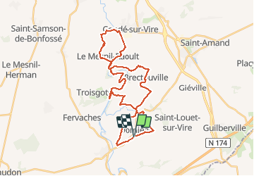
Rando gorge de la Vire

zefreefly
User

Length
35 km

Max alt
138 m

Uphill gradient
530 m
Km-Effort
42 km

Min alt
20 m

Downhill gradient
534 m
Boucle
Yes
Creation date :
2020-09-12 11:12:00.0
Updated on :
2020-09-16 15:50:53.827
10h25
Difficulty : Easy

FREE GPS app for hiking
 SityTrail
IGN / Geographical institutes
SityTrail Plus
The world is yours!
About
Trail Walking of 35 km to be discovered at Normandy, Manche, Domjean. This trail is proposed by zefreefly.
Description
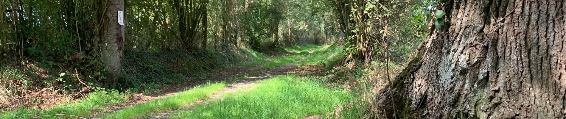
Sur les traces des équidés.
Randonnée Facile, de très beaux points de vues en longeant la Vire.
Un peu trop de goudron ! Dommage.
Photos


Positioning
Country:
France
Region :
Normandy
Department/Province :
Manche
Municipality :
Domjean
Location:
Unknown
Start:(Dec)
Start:(UTM)
643842 ; 5427416 (30U) N.
Comments