


38 Villard chapelle st julien

randodyssée
User GUIDE
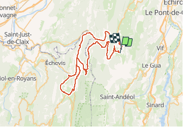

Length
73 km

Max alt
1388 m

Uphill gradient
2062 m
Km-Effort
100 km

Min alt
681 m

Downhill gradient
1983 m
Boucle
No
Creation date :
2020-09-13 08:29:00.987
Updated on :
2020-09-13 15:43:25.874
5h02
Difficulty : Medium

FREE GPS app for hiking
 SityTrail
IGN / Geographical institutes
SityTrail Plus
The world is yours!
About
Trail Road bike of 73 km to be discovered at Auvergne-Rhône-Alpes, Isère, Villard-de-Lans. This trail is proposed by randodyssée.
Description
13 09 2020
Positioning
Country:
France
Region :
Auvergne-Rhône-Alpes
Department/Province :
Isère
Municipality :
Villard-de-Lans
Location:
Unknown
Start:(Dec)
Start:(UTM)
701612 ; 4991138 (31T) N.
Comments