


dentde rez fait

LouisROGER
User GUIDE

Length
13.5 km

Max alt
714 m

Uphill gradient
499 m
Km-Effort
20 km

Min alt
331 m

Downhill gradient
490 m
Boucle
No
Creation date :
2020-09-14 07:46:23.378
Updated on :
2020-09-14 13:55:49.153
6h07
Difficulty : Very easy

FREE GPS app for hiking
 SityTrail
IGN / Geographical institutes
SityTrail Plus
The world is yours!
About
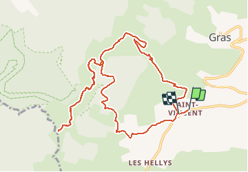
Trail Walking of 13.5 km to be discovered at Auvergne-Rhône-Alpes, Ardèche, Gras. This trail is proposed by LouisROGER.
Positioning
Country:
France
Region :
Auvergne-Rhône-Alpes
Department/Province :
Ardèche
Municipality :
Gras
Location:
Unknown
Start:(Dec)
Start:(UTM)
621920 ; 4920885 (31T) N.
Comments