


chauvet G4 fait

LouisROGER
User GUIDE
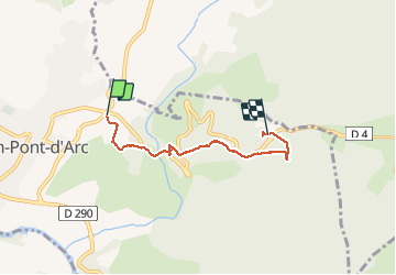

Length
4.1 km

Max alt
290 m

Uphill gradient
216 m
Km-Effort
6.5 km

Min alt
92 m

Downhill gradient
54 m
Boucle
No
Creation date :
2020-09-15 07:30:34.362
Updated on :
2020-09-15 10:05:54.502
2h34
Difficulty : Very easy

FREE GPS app for hiking
 SityTrail
IGN / Geographical institutes
SityTrail Plus
The world is yours!
About
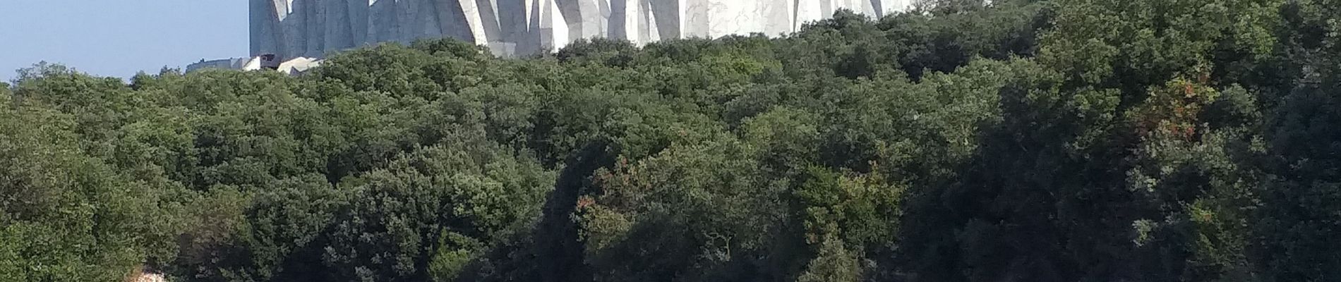
Trail Walking of 4.1 km to be discovered at Auvergne-Rhône-Alpes, Ardèche, Vallon-Pont-d'Arc. This trail is proposed by LouisROGER.
Photos

Positioning
Country:
France
Region :
Auvergne-Rhône-Alpes
Department/Province :
Ardèche
Municipality :
Vallon-Pont-d'Arc
Location:
Unknown
Start:(Dec)
Start:(UTM)
611964 ; 4918201 (31T) N.
Comments