


Chennegy Valdreux Chennegy

FPortier
User
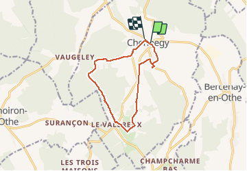

Length
11.2 km

Max alt
246 m

Uphill gradient
144 m
Km-Effort
13.2 km

Min alt
152 m

Downhill gradient
147 m
Boucle
No
Creation date :
2020-09-15 06:55:55.147
Updated on :
2020-09-15 10:20:50.067
2h32
Difficulty : Medium

FREE GPS app for hiking
 SityTrail
IGN / Geographical institutes
SityTrail Plus
The world is yours!
About
Trail Walking of 11.2 km to be discovered at Grand Est, Aube, Chennegy. This trail is proposed by FPortier.
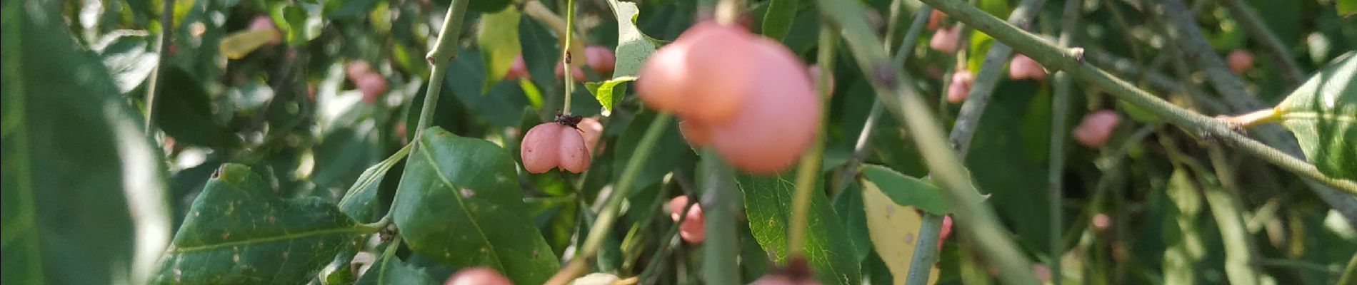
Photos


Positioning
Country:
France
Region :
Grand Est
Department/Province :
Aube
Municipality :
Chennegy
Location:
Unknown
Start:(Dec)
Start:(UTM)
563437 ; 5341685 (31U) N.
Comments