


Gorges de Toulgoulic

harydh
User GUIDE


Length
507 m

Max alt
243 m

Uphill gradient
19 m
Km-Effort
757 m

Min alt
220 m

Downhill gradient
18 m
Boucle
Yes
Creation date :
2020-09-16 09:06:59.256
Updated on :
2020-09-26 16:37:25.343
19m
Difficulty : Easy

FREE GPS app for hiking
 SityTrail
IGN / Geographical institutes
SityTrail Plus
The world is yours!
About
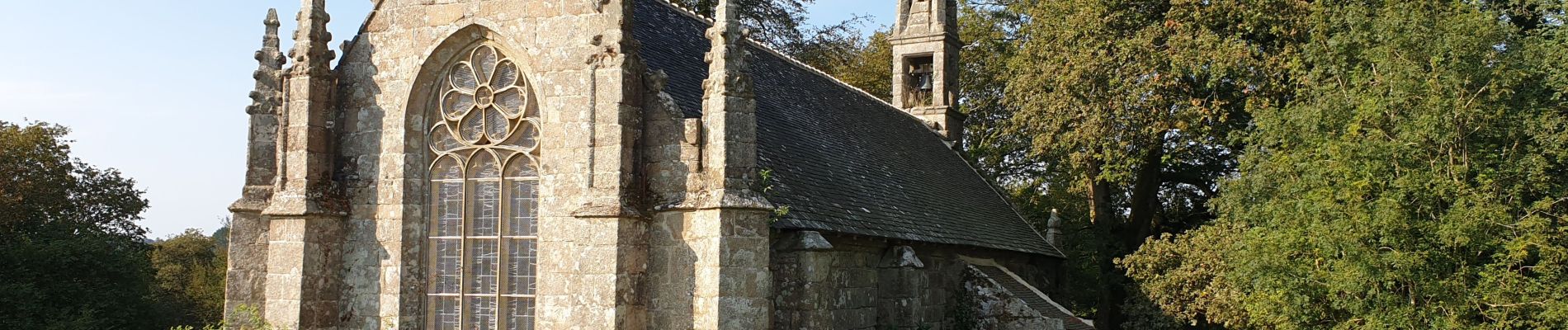
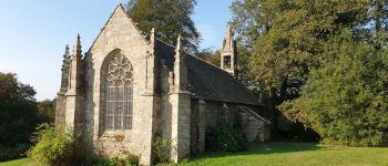
Trail Walking of 507 m to be discovered at Brittany, Côtes-d'Armor, Lanrivain. This trail is proposed by harydh.
Photos

Positioning
Country:
France
Region :
Brittany
Department/Province :
Côtes-d'Armor
Municipality :
Lanrivain
Location:
Unknown
Start:(Dec)
Start:(UTM)
481999 ; 5353370 (30U) N.
Comments