


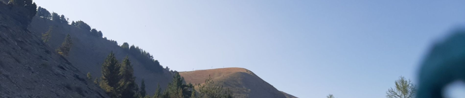
CHABANON Sommet de terre grosse o n

RobinMicheline
User GUIDE
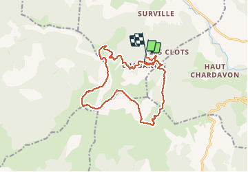

Length
17.3 km

Max alt
2025 m

Uphill gradient
674 m
Km-Effort
27 km

Min alt
1521 m

Downhill gradient
752 m
Boucle
No
Creation date :
2020-09-17 07:05:30.273
Updated on :
2020-09-17 18:25:42.151
4h30
Difficulty : Difficult

FREE GPS app for hiking
 SityTrail
IGN / Geographical institutes
SityTrail Plus
The world is yours!
About
Trail Walking of 17.3 km to be discovered at Provence-Alpes-Côte d'Azur, Alpes-de-Haute-Provence, Selonnet. This trail is proposed by RobinMicheline.
Photos


Positioning
Country:
France
Region :
Provence-Alpes-Côte d'Azur
Department/Province :
Alpes-de-Haute-Provence
Municipality :
Selonnet
Location:
Unknown
Start:(Dec)
Start:(UTM)
284401 ; 4914007 (32T) N.
Comments