


Station Croix de Bauzon

Rudy07
User
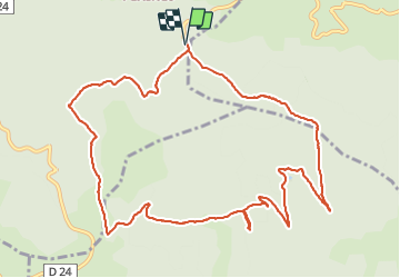

Length
13.1 km

Max alt
1460 m

Uphill gradient
269 m
Km-Effort
16.6 km

Min alt
1319 m

Downhill gradient
270 m
Boucle
Yes
Creation date :
2020-09-16 08:26:57.755
Updated on :
2023-12-28 14:57:59.174
3h07
Difficulty : Easy

FREE GPS app for hiking
 SityTrail
IGN / Geographical institutes
SityTrail Plus
The world is yours!
About
Trail Walking of 13.1 km to be discovered at Auvergne-Rhône-Alpes, Ardèche, Borne. This trail is proposed by Rudy07.
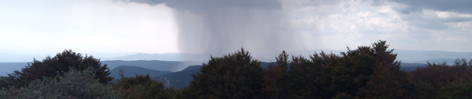
Photos


Positioning
Country:
France
Region :
Auvergne-Rhône-Alpes
Department/Province :
Ardèche
Municipality :
Borne
Location:
Unknown
Start:(Dec)
Start:(UTM)
586376 ; 4942447 (31T) N.
Comments