


beauvezer_villars j5: le pont de la serre

bernir
User
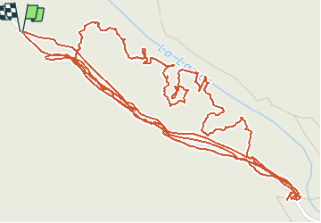

Length
3.6 km

Max alt
1662 m

Uphill gradient
88 m
Km-Effort
4.9 km

Min alt
1590 m

Downhill gradient
98 m
Boucle
Yes
Creation date :
2020-09-18 06:47:42.843
Updated on :
2020-10-09 12:27:36.577
2h16
Difficulty : Very easy

FREE GPS app for hiking
 SityTrail
IGN / Geographical institutes
SityTrail Plus
The world is yours!
About
Trail Walking of 3.6 km to be discovered at Provence-Alpes-Côte d'Azur, Alpes-de-Haute-Provence, Colmars. This trail is proposed by bernir.
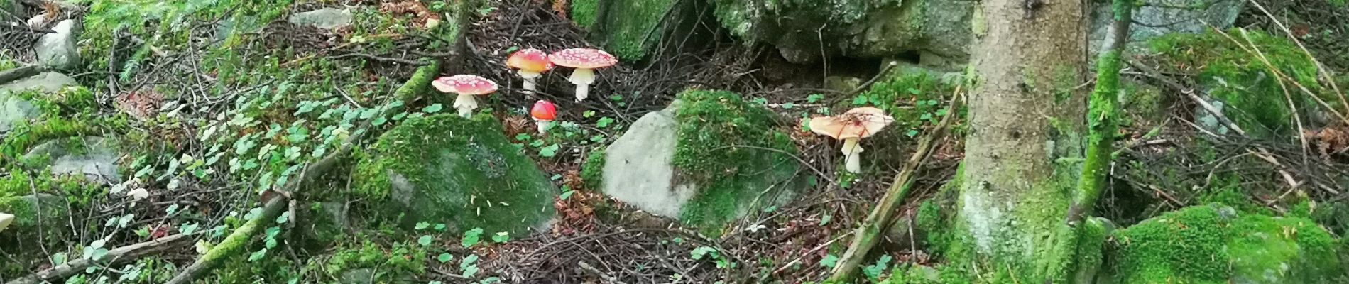
Photos


Positioning
Country:
France
Region :
Provence-Alpes-Côte d'Azur
Department/Province :
Alpes-de-Haute-Provence
Municipality :
Colmars
Location:
Unknown
Start:(Dec)
Start:(UTM)
311987 ; 4892361 (32T) N.
Comments