


pont du diable G4FAIT

LouisROGER
User GUIDE


Length
5.7 km

Max alt
601 m

Uphill gradient
307 m
Km-Effort
9.8 km

Min alt
380 m

Downhill gradient
297 m
Boucle
No
Creation date :
2020-09-18 08:03:41.106
Updated on :
2020-09-18 13:09:17.23
5h04
Difficulty : Very easy

FREE GPS app for hiking
 SityTrail
IGN / Geographical institutes
SityTrail Plus
The world is yours!
About
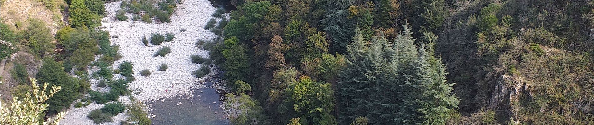
Trail Walking of 5.7 km to be discovered at Auvergne-Rhône-Alpes, Ardèche, Thueyts. This trail is proposed by LouisROGER.
Photos

Positioning
Country:
France
Region :
Auvergne-Rhône-Alpes
Department/Province :
Ardèche
Municipality :
Thueyts
Location:
Unknown
Start:(Dec)
Start:(UTM)
597018 ; 4947627 (31T) N.
Comments