


De velleguindry à levrecey

nicolasdresse
User
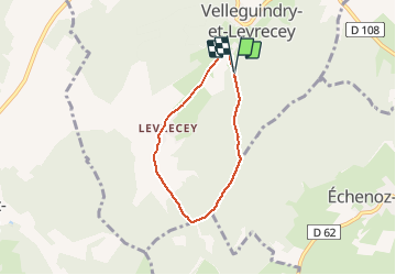

Length
4.9 km

Max alt
427 m

Uphill gradient
96 m
Km-Effort
6.2 km

Min alt
326 m

Downhill gradient
103 m
Boucle
Yes
Creation date :
2020-09-20 15:57:52.0
Updated on :
2020-09-20 17:18:07.936
1h19
Difficulty : Easy

FREE GPS app for hiking
 SityTrail
IGN / Geographical institutes
SityTrail Plus
The world is yours!
About
Trail Walking of 4.9 km to be discovered at Bourgogne-Franche-Comté, Haute-Saône, Velleguindry-et-Levrecey. This trail is proposed by nicolasdresse.
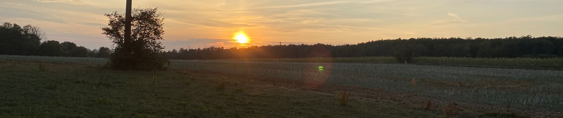
Photos

Positioning
Country:
France
Region :
Bourgogne-Franche-Comté
Department/Province :
Haute-Saône
Municipality :
Velleguindry-et-Levrecey
Location:
Unknown
Start:(Dec)
Start:(UTM)
281573 ; 5270689 (32T) N.
Comments