


Gavarnie Luz Saint sauveur

ARVIEU
User
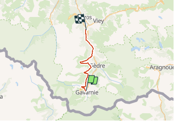

Length
27 km

Max alt
1866 m

Uphill gradient
1078 m
Km-Effort
44 km

Min alt
730 m

Downhill gradient
1686 m
Boucle
No
Creation date :
2020-09-21 05:28:57.753
Updated on :
2020-09-21 15:41:02.7
8h20
Difficulty : Difficult

FREE GPS app for hiking
 SityTrail
IGN / Geographical institutes
SityTrail Plus
The world is yours!
About
Trail Walking of 27 km to be discovered at Occitania, Hautespyrenees, Gavarnie-Gèdre. This trail is proposed by ARVIEU.
Description
liaison sur le GR 10 sans intérêt prendre le bus
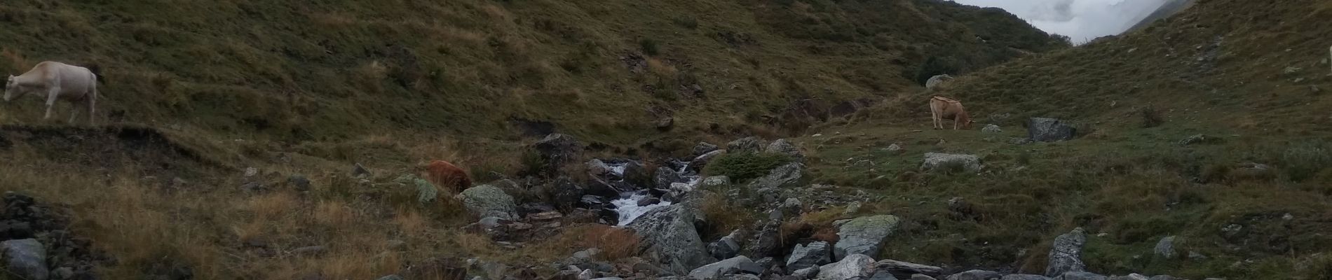
Photos

Positioning
Country:
France
Region :
Occitania
Department/Province :
Hautespyrenees
Municipality :
Gavarnie-Gèdre
Location:
Gavarnie
Start:(Dec)
Start:(UTM)
744688 ; 4735815 (30T) N.
Comments