


Col de l'Izoard - La Casse Déserte - lac de Souliers

mhetpierre
User
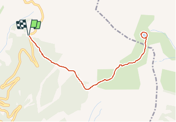

Length
5.1 km

Max alt
2497 m

Uphill gradient
283 m
Km-Effort
8.9 km

Min alt
2199 m

Downhill gradient
284 m
Boucle
Yes
Creation date :
2020-09-21 18:25:09.334
Updated on :
2020-09-21 18:26:12.706
1h48
Difficulty : Medium

FREE GPS app for hiking
 SityTrail
IGN / Geographical institutes
SityTrail Plus
The world is yours!
About
Trail Walking of 5.1 km to be discovered at Provence-Alpes-Côte d'Azur, Hautes-Alpes, Arvieux. This trail is proposed by mhetpierre.
Positioning
Country:
France
Region :
Provence-Alpes-Côte d'Azur
Department/Province :
Hautes-Alpes
Municipality :
Arvieux
Location:
Unknown
Start:(Dec)
Start:(UTM)
320965 ; 4964049 (32T) N.
Comments