


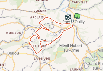
Pont d'ouilly 220920

Roulland
User

Length
15.6 km

Max alt
237 m

Uphill gradient
420 m
Km-Effort
21 km

Min alt
46 m

Downhill gradient
420 m
Boucle
Yes
Creation date :
2020-09-22 11:01:47.971
Updated on :
2020-09-22 15:22:01.911
3h56
Difficulty : Medium

FREE GPS app for hiking
 SityTrail
IGN / Geographical institutes
SityTrail Plus
The world is yours!
About
Trail Walking of 15.6 km to be discovered at Normandy, Calvados, Pont-d'Ouilly. This trail is proposed by Roulland.
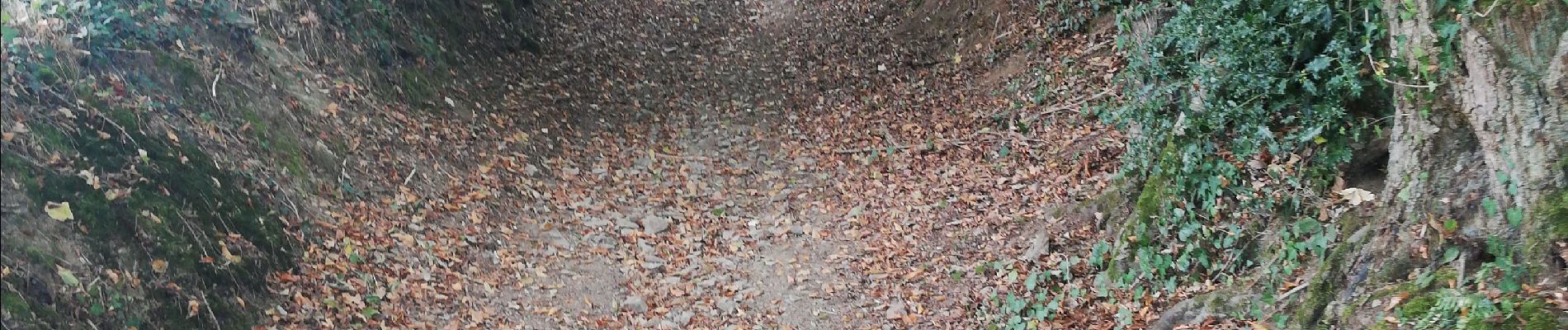
Photos


Positioning
Country:
France
Region :
Normandy
Department/Province :
Calvados
Municipality :
Pont-d'Ouilly
Location:
Unknown
Start:(Dec)
Start:(UTM)
689936 ; 5416647 (30U) N.
Comments