


Lac d'Allos

David25400
User GUIDE
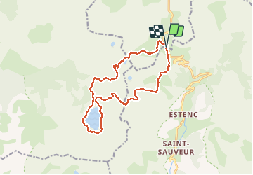

Length
16.6 km

Max alt
2648 m

Uphill gradient
785 m
Km-Effort
27 km

Min alt
2225 m

Downhill gradient
787 m
Boucle
Yes
Creation date :
2020-09-23 07:23:31.152
Updated on :
2020-09-23 15:13:49.133
6h18
Difficulty : Easy

FREE GPS app for hiking
 SityTrail
IGN / Geographical institutes
SityTrail Plus
The world is yours!
About
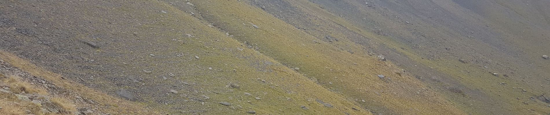
Trail Walking of 16.6 km to be discovered at Provence-Alpes-Côte d'Azur, Alpes-de-Haute-Provence, Uvernet-Fours. This trail is proposed by David25400.
Photos


Positioning
Country:
France
Region :
Provence-Alpes-Côte d'Azur
Department/Province :
Alpes-de-Haute-Provence
Municipality :
Uvernet-Fours
Location:
Unknown
Start:(Dec)
Start:(UTM)
319913 ; 4903164 (32T) N.
Comments