


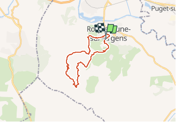
les 25 ponts -Roquebrune sur Argens-25-09-20

Christiancordin
User

Length
12.6 km

Max alt
285 m

Uphill gradient
351 m
Km-Effort
17.3 km

Min alt
18 m

Downhill gradient
361 m
Boucle
Yes
Creation date :
2020-09-25 08:17:10.191
Updated on :
2020-09-25 17:11:06.224
4h33
Difficulty : Medium

FREE GPS app for hiking
 SityTrail
IGN / Geographical institutes
SityTrail Plus
The world is yours!
About
Trail Walking of 12.6 km to be discovered at Provence-Alpes-Côte d'Azur, Var, Roquebrune-sur-Argens. This trail is proposed by Christiancordin.
Description
Chapelle Ste Anne- les 25 ponts- la petite Maurette- lac des Clots-la Maurette-Roquebrune sur Argens.
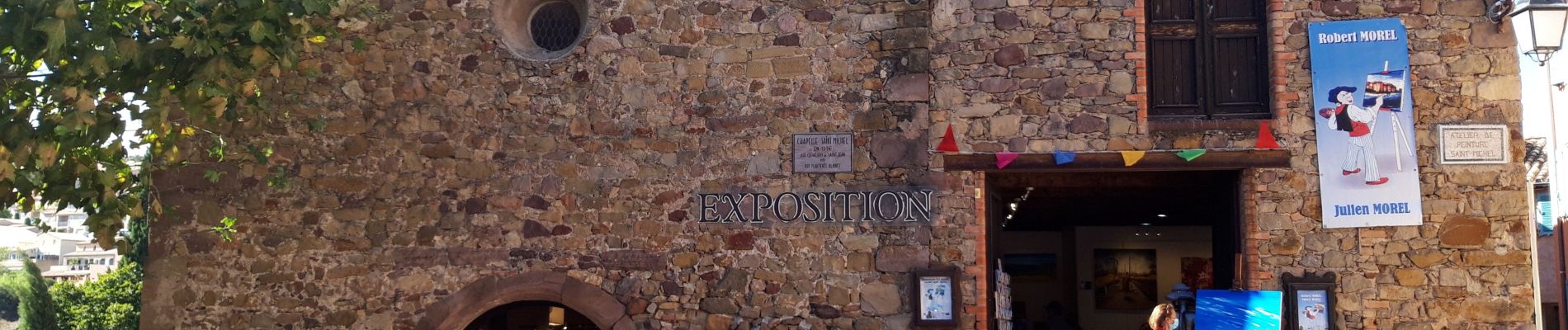
Photos


Positioning
Country:
France
Region :
Provence-Alpes-Côte d'Azur
Department/Province :
Var
Municipality :
Roquebrune-sur-Argens
Location:
Unknown
Start:(Dec)
Start:(UTM)
308530 ; 4812386 (32T) N.
Comments