


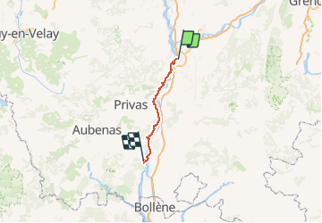
8ème étape Valence /Vivier 25/09

levequejef
User

Length
79 km

Max alt
132 m

Uphill gradient
529 m
Km-Effort
87 km

Min alt
60 m

Downhill gradient
573 m
Boucle
No
Creation date :
2020-09-25 08:58:02.997
Updated on :
2020-09-25 17:45:39.818
7h41
Difficulty : Very easy

FREE GPS app for hiking
 SityTrail
IGN / Geographical institutes
SityTrail Plus
The world is yours!
About
Trail Road bike of 79 km to be discovered at Auvergne-Rhône-Alpes, Drôme, Valence. This trail is proposed by levequejef.
Positioning
Country:
France
Region :
Auvergne-Rhône-Alpes
Department/Province :
Drôme
Municipality :
Valence
Location:
Unknown
Start:(Dec)
Start:(UTM)
649333 ; 4976725 (31T) N.
Comments