


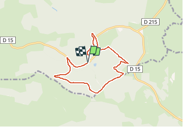

11 km | 15.4 km-effort


User


FREE GPS app for hiking
 SityTrail
IGN / Geographical institutes
SityTrail World
The world is yours!
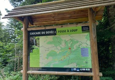
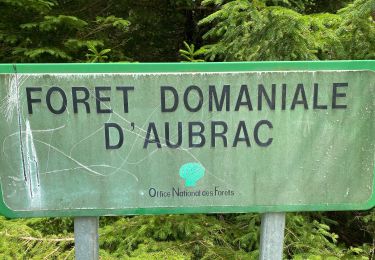
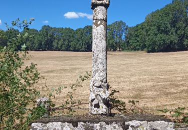
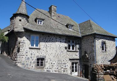
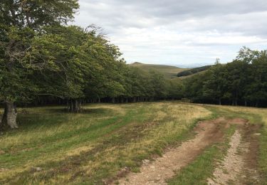
Trail Walking of 7.1 km to be discovered at Occitania, Aveyron, Laguiole. This trail is proposed by neitag61.
Passage impossible du ruisseau au Km 6 en période humide
possibilité de descendre par les pistes au km 4.5 pour rejoindre le départ
Walking
Walking

Walking
Walking

Walking
Walking

Snowshoes
uniquement en été