


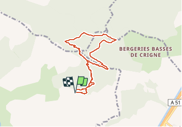

5.6 km | 13.4 km-effort


User


FREE GPS app for hiking
 SityTrail
IGN / Geographical institutes
SityTrail World
The world is yours!
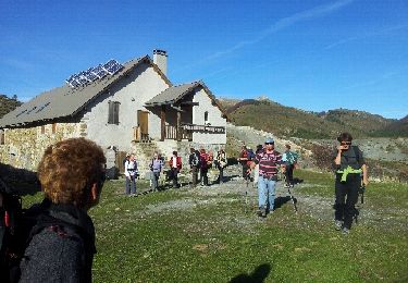
Trail Walking of 8.3 km to be discovered at Provence-Alpes-Côte d'Azur, Hautes-Alpes, Ventavon. This trail is proposed by nadd73.
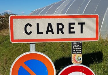
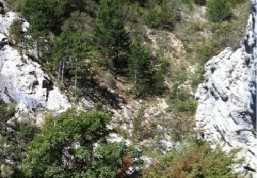
De Ventavon se garer après le captage de source.
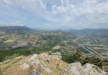
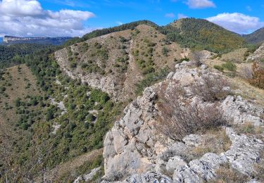
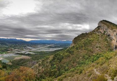
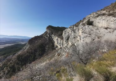
Montée au site d'escalade longer les falaises jusqu'à voir des marques bleues où on monte une rampe et escalade 3A pour arriver sur la crête et au col descente par "la porte"


Walking
Walking
Walking
Walking
Walking
Walking
Walking
Running
Walking