


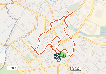


12.3 km | 13.4 km-effort

User


FREE GPS app for hiking
 SityTrail
IGN / Geographical institutes
SityTrail World
The world is yours!
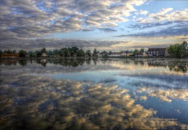
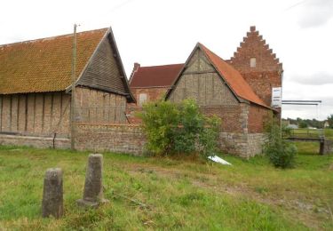
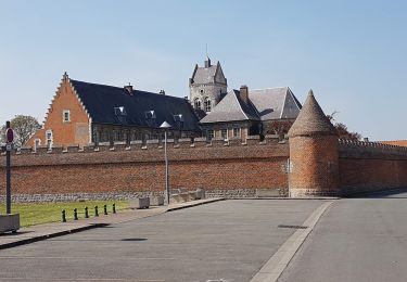
Trail Walking of 5.6 km to be discovered at Hauts-de-France, Pas-de-Calais, Béthune. This trail is proposed by Marie-Claire-mcp.
xx


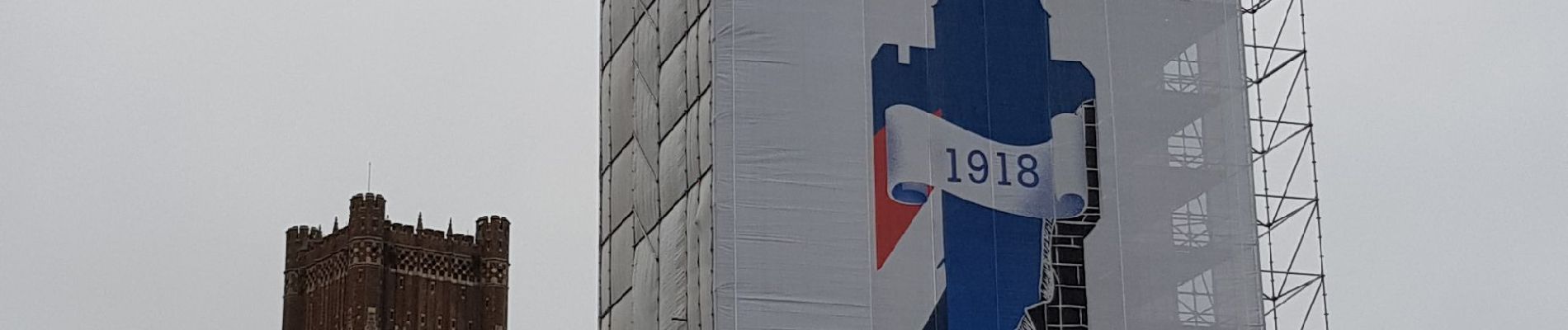
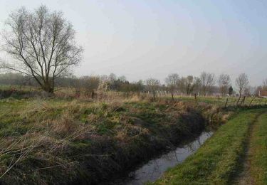
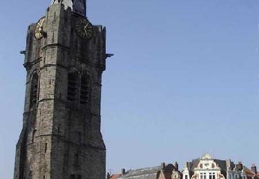
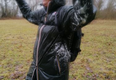
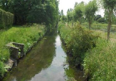
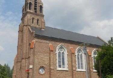
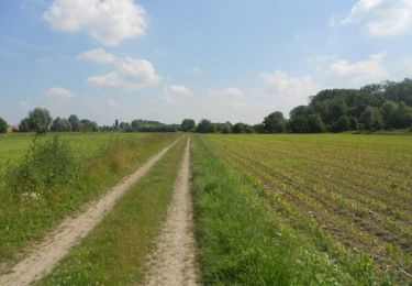
27 photos in total. Please click on a photo to see them all in the gallery.
Walking
Walking
Walking
Walking
Walking
Walking
Walking
Cycle
Walking