


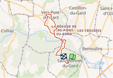
Pont du Gard

boudpn
User

Length
14.4 km

Max alt
147 m

Uphill gradient
331 m
Km-Effort
18.8 km

Min alt
19 m

Downhill gradient
331 m
Boucle
Yes
Creation date :
2020-09-27 07:15:12.0
Updated on :
2020-09-27 13:18:26.095
6h02
Difficulty : Unknown

FREE GPS app for hiking
 SityTrail
IGN / Geographical institutes
SityTrail Plus
The world is yours!
About
Trail Walking of 14.4 km to be discovered at Occitania, Gard, Saint-Bonnet-du-Gard. This trail is proposed by boudpn.
Description
Facile
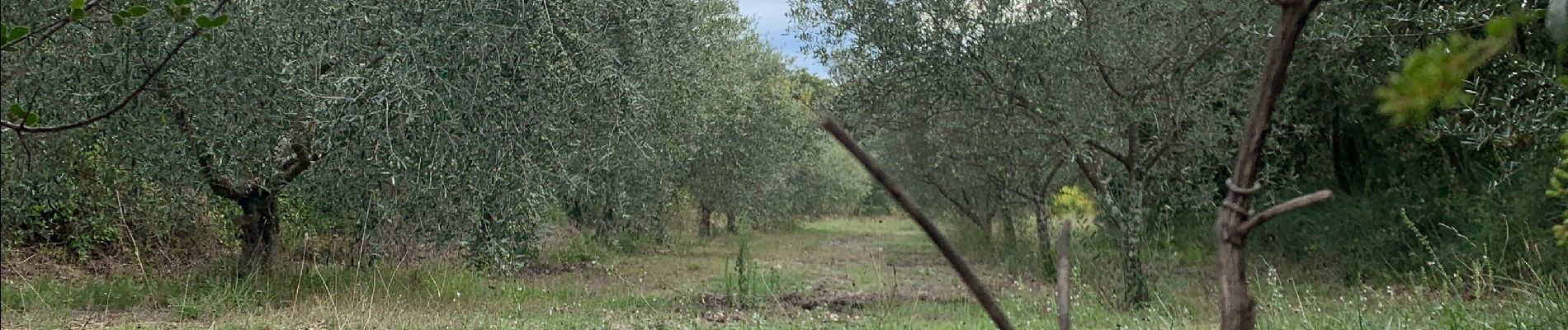
Photos


Positioning
Country:
France
Region :
Occitania
Department/Province :
Gard
Municipality :
Saint-Bonnet-du-Gard
Location:
Unknown
Start:(Dec)
Start:(UTM)
623924 ; 4865042 (31T) N.
Comments