


Le col

jmbilger
User
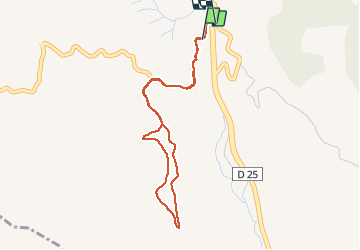

Length
4.2 km

Max alt
253 m

Uphill gradient
82 m
Km-Effort
5.3 km

Min alt
210 m

Downhill gradient
84 m
Boucle
Yes
Creation date :
2020-09-27 15:51:28.0
Updated on :
2020-09-27 17:02:28.635
1h10
Difficulty : Unknown

FREE GPS app for hiking
 SityTrail
IGN / Geographical institutes
SityTrail Plus
The world is yours!
About
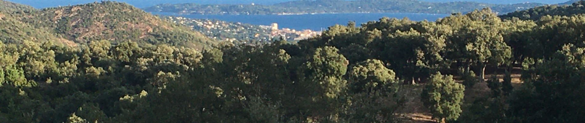
Trail Walking of 4.2 km to be discovered at Provence-Alpes-Côte d'Azur, Var, Sainte-Maxime. This trail is proposed by jmbilger.
Photos


Positioning
Country:
France
Region :
Provence-Alpes-Côte d'Azur
Department/Province :
Var
Municipality :
Sainte-Maxime
Location:
Unknown
Start:(Dec)
Start:(UTM)
305187 ; 4804891 (32T) N.
Comments